Keukenhof map | Navigating the largest gardens in Europe

Spanning 32 hectares with over 15 kilometres of walking paths, the ‘Garden of Europe’ can be a maze of colour. This Keukenhof map guide helps you navigate its themed pavilions, historic windmill, and winding canals efficiently.

Keukenhof map

Take a look at the map of Keukenhof to navigate the premises better and reach your desired flower show without any hassles. This Keukenhof map ensures you don't miss the 7 million bulbs blooming across the estate.

Keukenhof map

Source: Keukenhof

Navigating your way around Keukenhof

Tulip garden at Keukenhof with a pond and trees in the background, Netherlands.

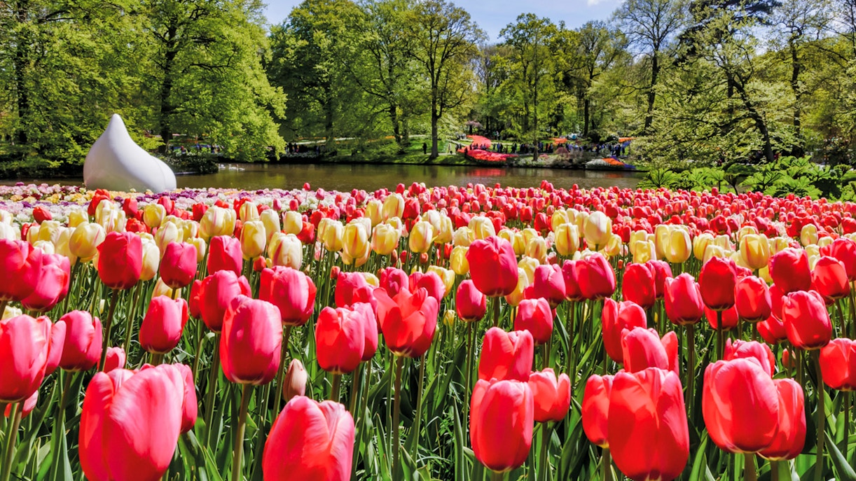
With millions of visitors arriving between March 20 and May 11, 2026, having a strategy for your map of Keukenhof is essential.

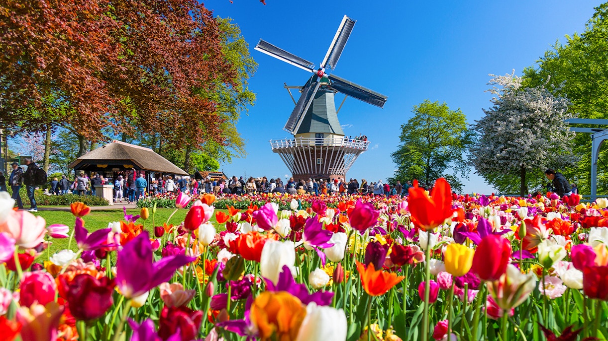
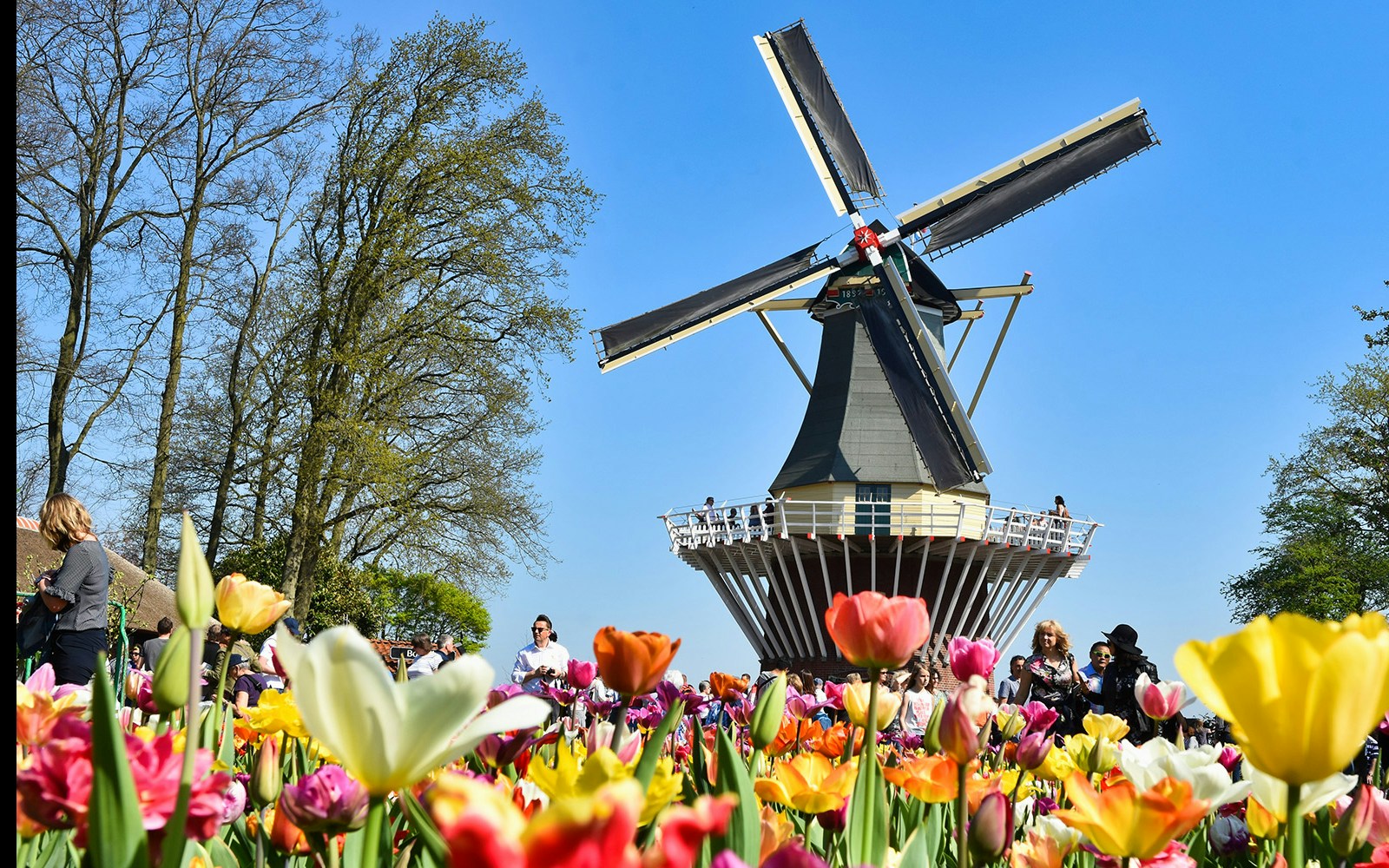
  • Suggested route: Start at the Willem-Alexander Pavilion for the massive tulip display, then head east toward the Windmill for the best views. Finish your circuit at the Oranje Nassau Pavilion for floral demonstrations.
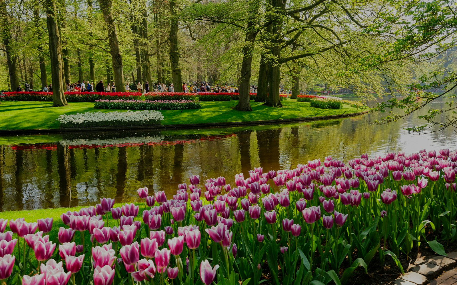
  • Walking & accessibility: Expect a significant amount of walking. The paths are paved and wheelchair-friendly, but a full circuit covers roughly 5-8 kilometres.
  • Shuttle & transport: While there is no shuttle inside the gardens, the Keukenhof Express (Bus 858 from Schiphol or 850/854 from Leiden) drops you directly at the Main Entrance. Get directions >
  • Rest stops: Numerous benches are scattered along the lakeside and near the fountain. For a longer break, the picnic area near the windmill offers a serene view of the surrounding tulip fields.
Plan your visit

Keukenhof entrances

The Keukenhof map features two distinct entry points, each catering to different transport methods:

  • Main Entrance (South): The primary hub for the Keukenhof Express bus, tour coaches, and taxis. It houses the largest parking lot and the primary bike rental station.
  • Extra Entrance (North): Typically open during peak weekends and the Dutch school holidays. It is closer to the Wilhelmina Pavilion and offers a smaller, quieter parking area.

The Keukenhof Windmill & East Zone

Tulips in bloom near a windmill at Keukenhof Gardens, Netherlands.

Located at the edge of the park, the historic 1892 windmill is a vital landmark on your map of Keukenhof.

  • Panoramic views: Climb the windmill for a vantage point over the vibrant bulb fields outside the park boundaries.
  • Whisper boats: The boarding point for the 45-minute silent boat tour through the canals is located right at the foot of the mill.
  • Picnic spot: This area features the park's largest designated picnic meadow, ideal for a DIY lunch.

Must-see highlights

Tulips in bloom at the Keukenhof entrance, Netherlands.

Willem-Alexander Pavilion

Thousands of tulips under one roof.

Windmill and colorful tulips at Keukenhof Gardens, Netherlands.
Flower beds with pink tulips by a pond in Keukenhof Gardens, Lisse, Netherlands.

Tips for your visit

  • Arrive early or late: To avoid the heaviest crowds on the map of Keukenhof, visit before 10:30am or after 4pm.
  • Check the tulip season report: Use the Keukenhof map in conjunction with weekly bloom updates on the official site to see which sectors are at peak colour.
  • Rent a bike early: If you plan to use the map of Keukenhof to explore the surrounding fields, rent your bicycle immediately upon arrival, as they often sell out by noon.

Frequently asked questions about the Keukenhof map

Yes, all the ongoing tulip flower shows and events in 2026 are visible on the Keukenhof map.